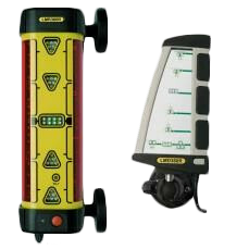
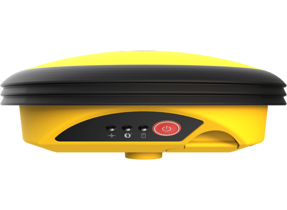
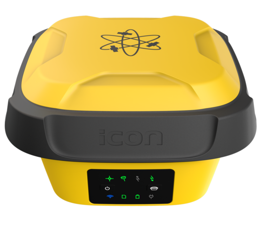
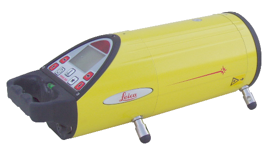
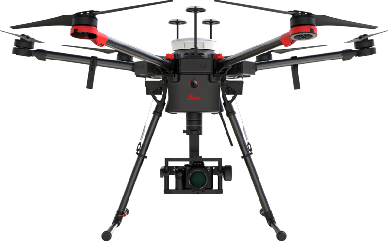
When construction work begins on the jobsite, you need unprecedented visibility into every stage – from understanding the site’s topography and preparing the grounds for trenching and excavating to verifying installation and layout accuracy.
Solutions
Work smarter onsite with the most trusted machine control technology, reality capture scanners, grade lasers and digital layout tools for maximizing efficiency and proactively eliminating BIM conflicts.
Site Preparation
Handle earthmoving and grading tasks with advanced machine control solutions for guaranteeing your site is ready for construction.
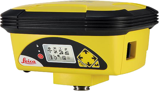
Leica iCON iGD3 – 3D system
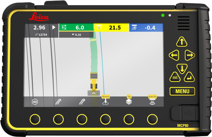
Leica iCON iGD3 – 3D system
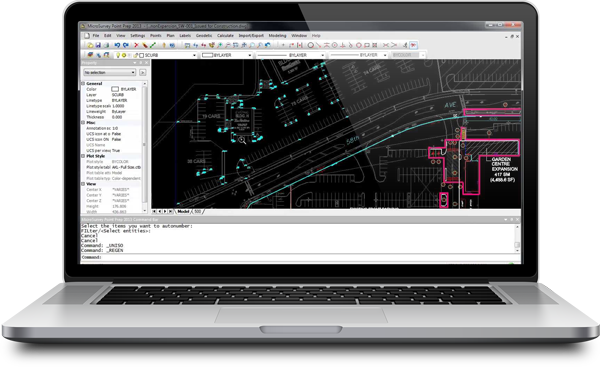
AGTEK for Civil Construction
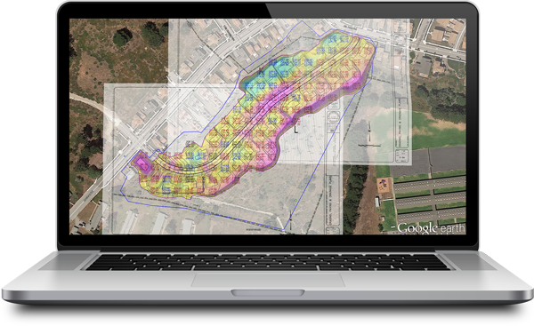
AGTEK for Civil Construction
Utility Trenching
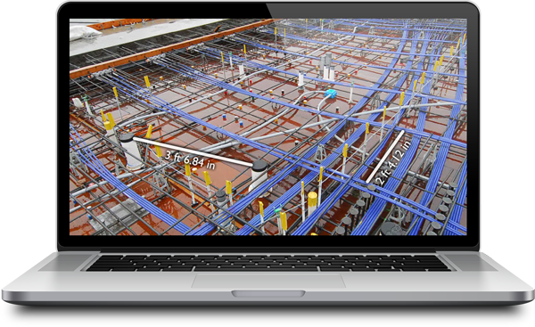
Avoid damaging the ground and existing utilities with BIM-to-Field technology for the most accurate and efficient utility detection and excavation work.
Leica iCON iXE3 – 3D System
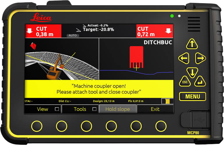
Leica iCON iXE3 – 3D System
Leica DS2000 Utility Detection Radar
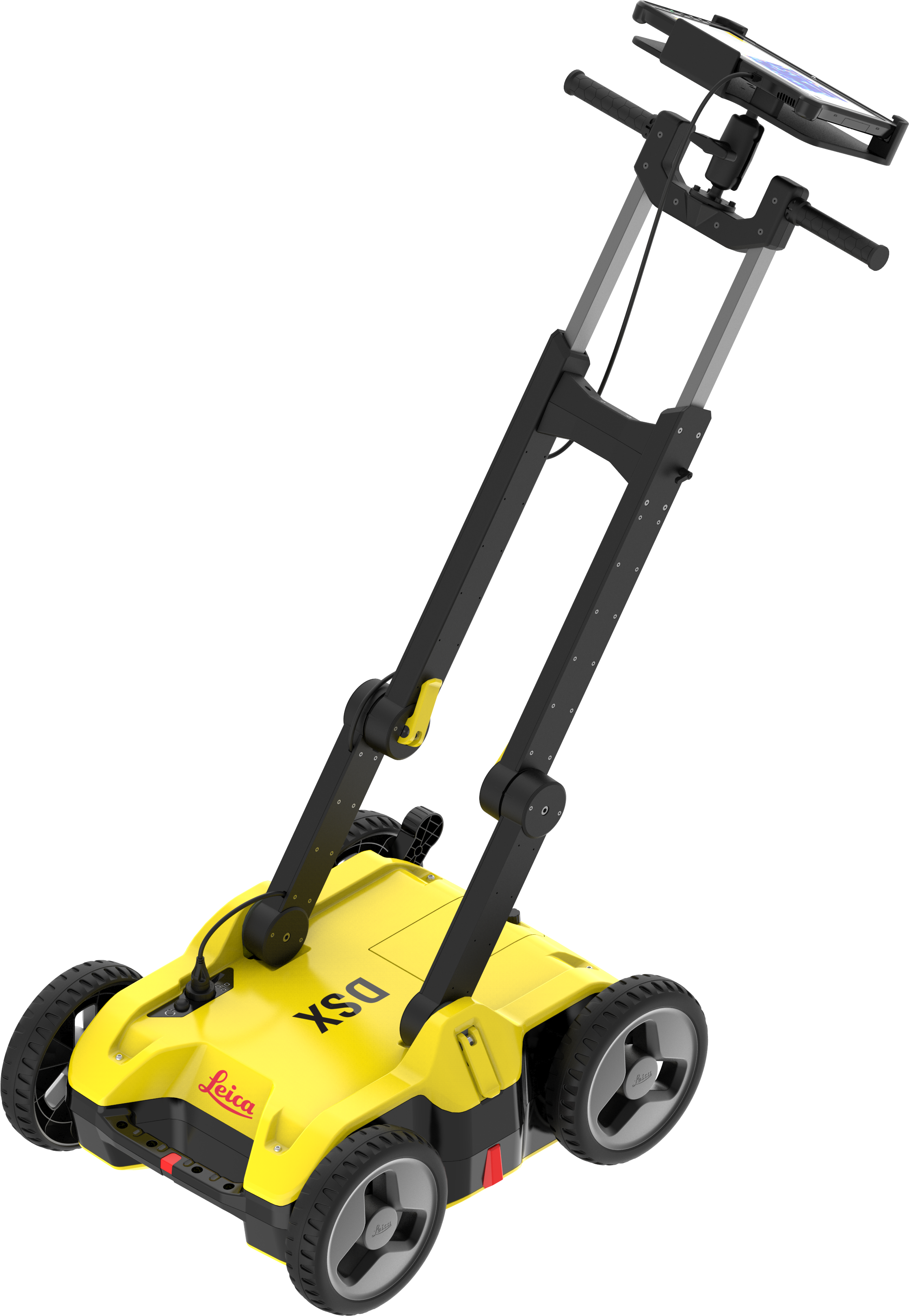
Leica DSX Utility Detection Systems
AGTEK for Civil Construction

AGTEK for Civil Construction
Construction Verification
Explore tools to help flag potential BIM-related conflicts early to make corrections and adjustments as needed without falling behind schedule.
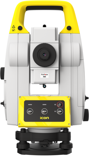
Leica iCON iCR80 Robotic Total Station
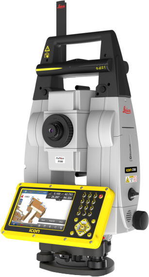
Leica iCON iCR80 Robotic Total Station
Leica RTC360 3D Laser Scanner
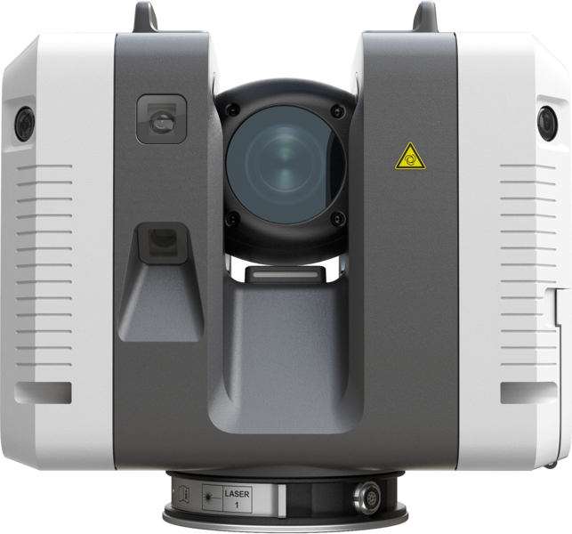
Leica RTC360 3D Laser Scanner
Layout
Complete layout and alignment tasks confidently with the most precise total stations, grade lasers, and GNSS tools on the market.
Leica iCON iCR80 Robotic Total Station

Leica iCON iCR80 Robotic Total Station
Topography
Quickly capture an accurate view of a worksite’s topography with surveying and reality capture technology solutions for the most advanced point cloud data.
Leica RTC360 3D Laser Scanner

Leica RTC360 3D Laser Scanner
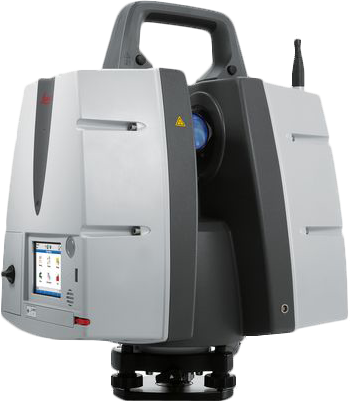
Leica ScanStation P50 – Long Range 3D Terrestrial Laser Scanner
