The overall success of a building’s structure depends on a powerful foundation built with precision – and more importantly ensuring your concrete construction & formwork has been properly placed and reinforced before other systems can be installed.
Solutions
Ensure structural accuracy and integrity during concrete work with manual and robotic total stations for faster steel & anchor placement and as-built verified point & line layout.
Rebar & Form Layout
Our manual and robotic total stations keep your concrete reinforcement designs accessible in the field for the most precise rebar and formwork layout tasks.
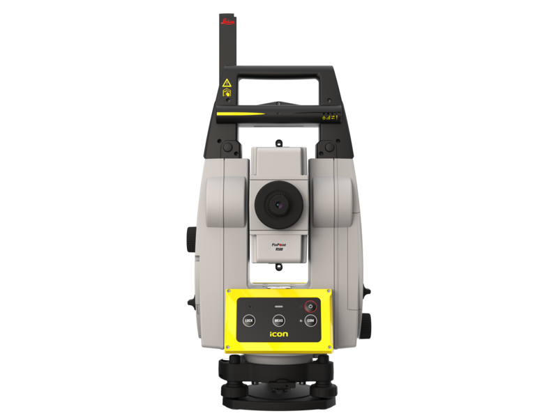
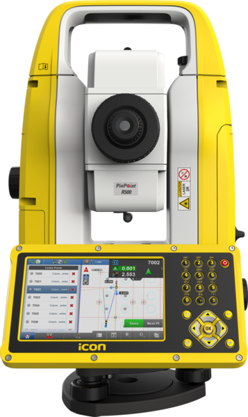
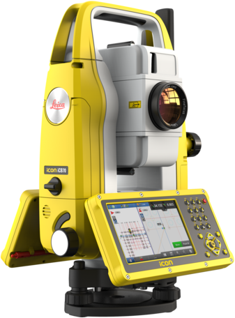
Leica iCON iCR80 Robotic Total Station
Layout
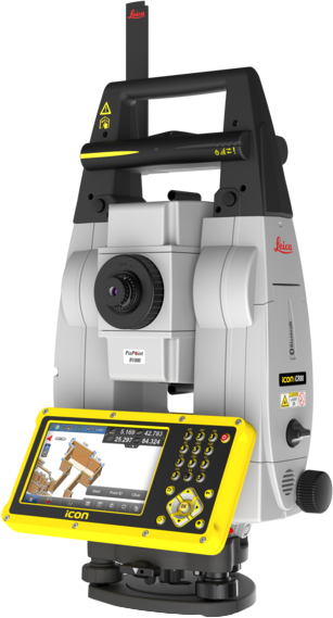
Leica iCON iCR80 Robotic Total Station
The Leica iCON iCR80 construction total station keeps its ‘eye’ on only one thing: the user’s target. Layout more points per day thanks to ATRplus, the most robust automated-aiming, lock and re-lock technology in the market.
Steel & Anchor Installation
Minimize rework with total stations guaranteed for laying out reinforcing steel and anchor locations exact according to plan.
Leica iCON iCR80 Robotic Total Station
Layout

Leica iCON iCR80 Robotic Total Station
The Leica iCON iCR80 construction total station keeps its ‘eye’ on only one thing: the user’s target. Layout more points per day thanks to ATRplus, the most robust automated-aiming, lock and re-lock technology in the market.
Structural Trenching
Safely and accurately complete structural excavation tasks with machine control solutions and radar detection technology to avoid disrupting underground assets.
Leica iCON iXE3 – 3D System
Excavator Guidance
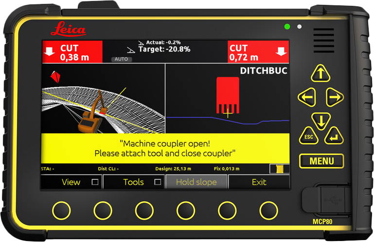
Leica iCON iXE3 – 3D System
Leica iCON excavate iXE3 offers you 2D and 3D machine control in one control panel, enabling you to create simple terrain models directly in the control panel - a new feature providing great flexibility in the field. With the unique PowerSnap concept, Leica iCON excavate iXE3 simplifies system installation and enables rapid interchange of control panels between machines in your fleet.
Leica iCON iGD3 – 3D system
Dozer Grading
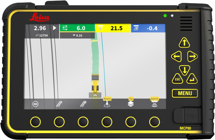
Leica iCON iGD3 – 3D system
Leica iCON iGD3 3D system brings design surfaces inside the cab, guided by a GNSS system or a Leica Geosystems robotic total station. Leica iCON grade iGD3 system for dozers can dramatically increase machine utilisation, productivity and optimise material usage on any earthmoving and fine-grading contract.
Leica DS2000 Utility Detection Radar
Detection
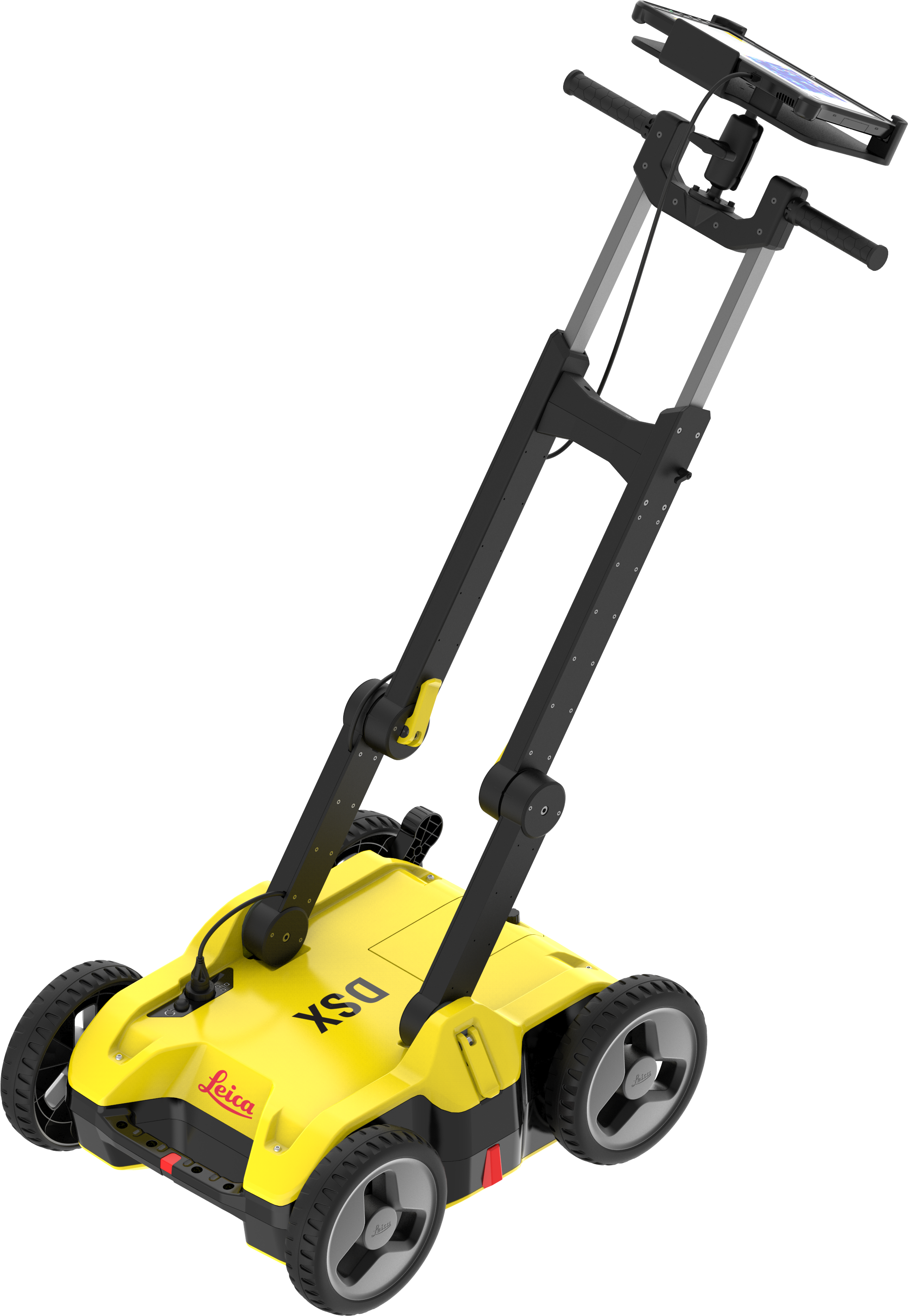
Leica DSX Utility Detection Systems
The Leica DSX utility detection solution allows you to easily locate, visualize and map utilities - maximizing productivity with cutting-edge software to automate data analysis and create a 3D utility map on the field.
AGTEK for Civil Construction
Takeoff, Modeling, Field Operations
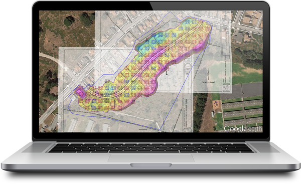
AGTEK for Civil Construction
AGTEK provides Dirt Simple Solutions for the construction industry to accurately takeoff and estimate construction quantities, model efficient construction processes and measuring progress throughout the construction life cycle, ensuring you stay on track.
