Designed to maximize efficiency, Leica Geosystems total station technology for construction & surveying streamlines your layout application by integrating your 3D design model from the office to directly into the field workflow to produce accurate and verified point data in real-time – eliminating delays from BIM coordination and manual exporting & converting of files.
These intuitive, one-person solutions empower your limited crews to quickly tackle more work without sacrificing quality – enabling you to bid, win and get to the next job faster.
Get your quote!
Complete the form below to connect with your total station solution experts
The digital tools you need to enhance your layout performance
Construction Total Station Solutions
Robotic Total Stations
Manual Total Stations
Leica iCR80
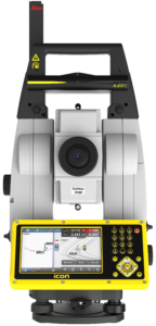
One-person total station guaranteeing layout efficiency with the most reliable, simple and automatic set up procedure, industry-leading prism lock, and flexible handling of fully rendered 3D design models in the field
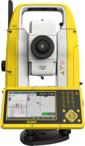
Leica iCR70
Easy-to-use, one-person operating total station designed to accelerate construction and installation processes with flexible handling of fully rendered 3D design models in the field – helping you achieve more layout points all day, every day
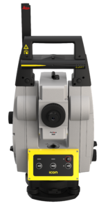
Leica iCB70
Efficient manual total station with either prism or reflector-less measurements and 4G mobile data capability for construction data transfers between the office and the instrument directly
Leica iCB50
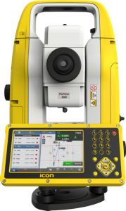
Easy-to-use, manual total station is usable with minimal training and prepares & execute construction tasks faster, simpler and more accurately
Software
Leica iCON build
Leica iCON build construction software provides you with unseen versatility and flexibility for modern building construction digital workflows. Specifically designed for building construction, construction professionals can complete layout, as-built and verification tasks easily with speed and accuracy, leading to more efficiency and less rework on site.


Leica iCON software is the core central interface to the complete range of iCON sensors enabling construction companies and field crews to learn its functionality once and be able to choose the right tool for their project.
Surveying Total Station Solutions
MultiStation
Robotic Total Stations
Manual Total Stations
Leica Nova MS60
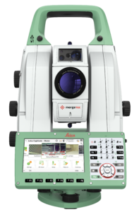
The ultimate all-rounder, combining total station functionality with 3D laser scanning, GNSS connectivity and digital imaging into one instrument
Leica TS16
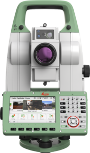
Best-in-class automated total station for the widest variety of measurement tasks and applications, including one-person or two-person instrument operation for surveying and stakeout
Leica TS13

Upgradeable, mid-range total station providing a fast, reliable and efficient solution tailored to the users needs to measure and layout more points
Leica Flexline Series
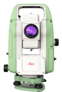
Manual total stations enabling you to carry out mid- to high-accuracy survey and stakeout tasks easily and efficiently
Software
Leica Captivate
User-friendly surveying software platform with intelligent information architecture designed to provide you with instant access to all aggregated raw data at all times and lets you combine and cross-check them against processed or archived data and survey results with only a couple of clicks.
The clearly laid-out user interface and intuitive handling of its 3D map view means that three-dimensional data sets recorded in the field – and even multiple scans – can now be displayed on your desktop, edited more rapidly than ever before and integrated with other survey results – for faster decisions in projects.
Total Station Solutions to Empower Your Layout Performance
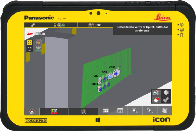
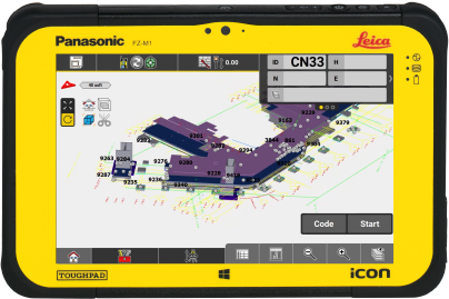
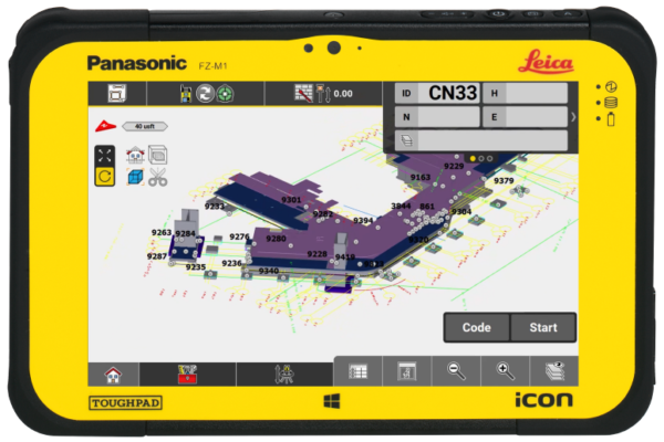
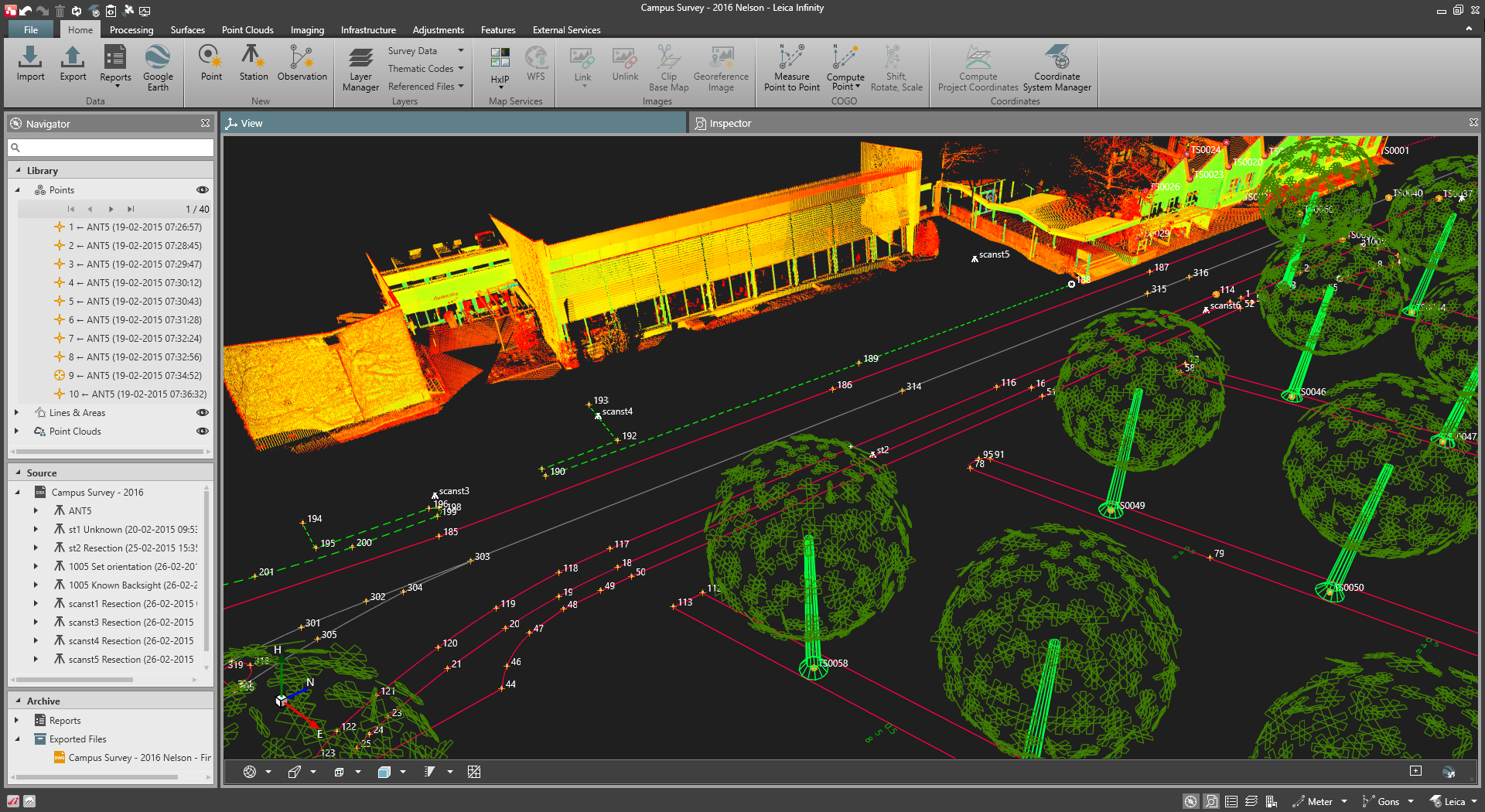
Real-Time Access to 3D Model
Easily integrate with design platforms to bring your BIM model to field for maximum productivity and layout efficiency
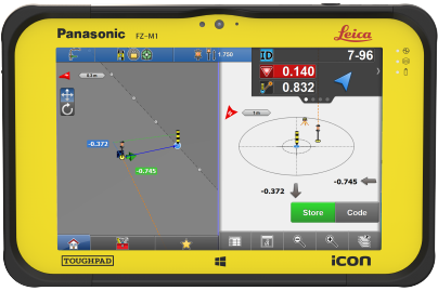
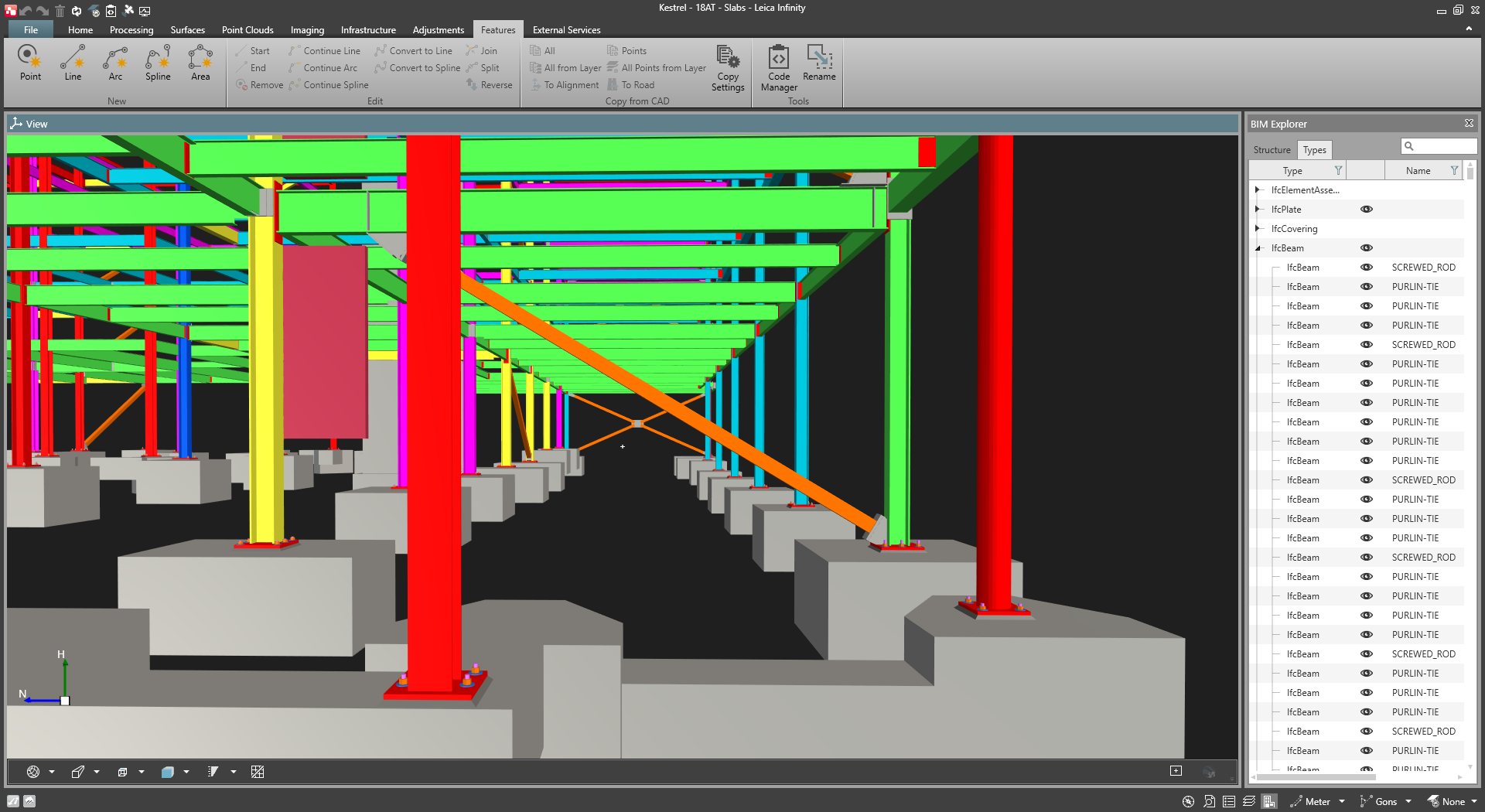
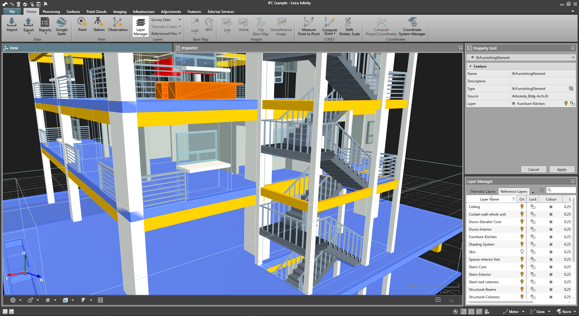
 Reliable IFC Data
Having data in an IFC format protects the integrity of your point cloud data and significantly saves time transferring your model information from the office to the field.
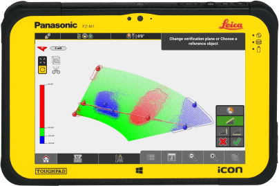
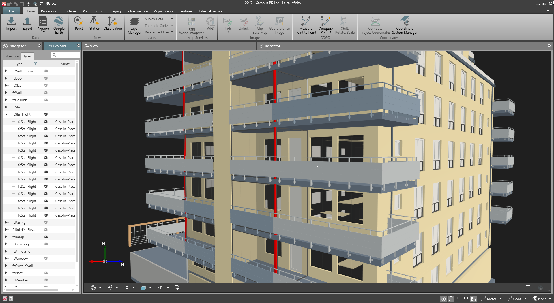
 In-Field Verification
Correct issues and verify work against the architect’s model in real-time, ensuring that costly errors and inconsistencies are resolved before task completion.
 Easy to Use & Adopt
With user-friendly and easy-to-understand technology, Leica Geosystems total station solutions ensure a quick and painless transition for your field operating crew without affecting productivity.
Ready to purchase or get a quote?
Contact us to connect with your local Leica Geosystems total station solution experts

