Leica GeosystemsLeica GeosystemsLeica Geosystems
  • No menu assigned
All Posts By

Philip Blanks

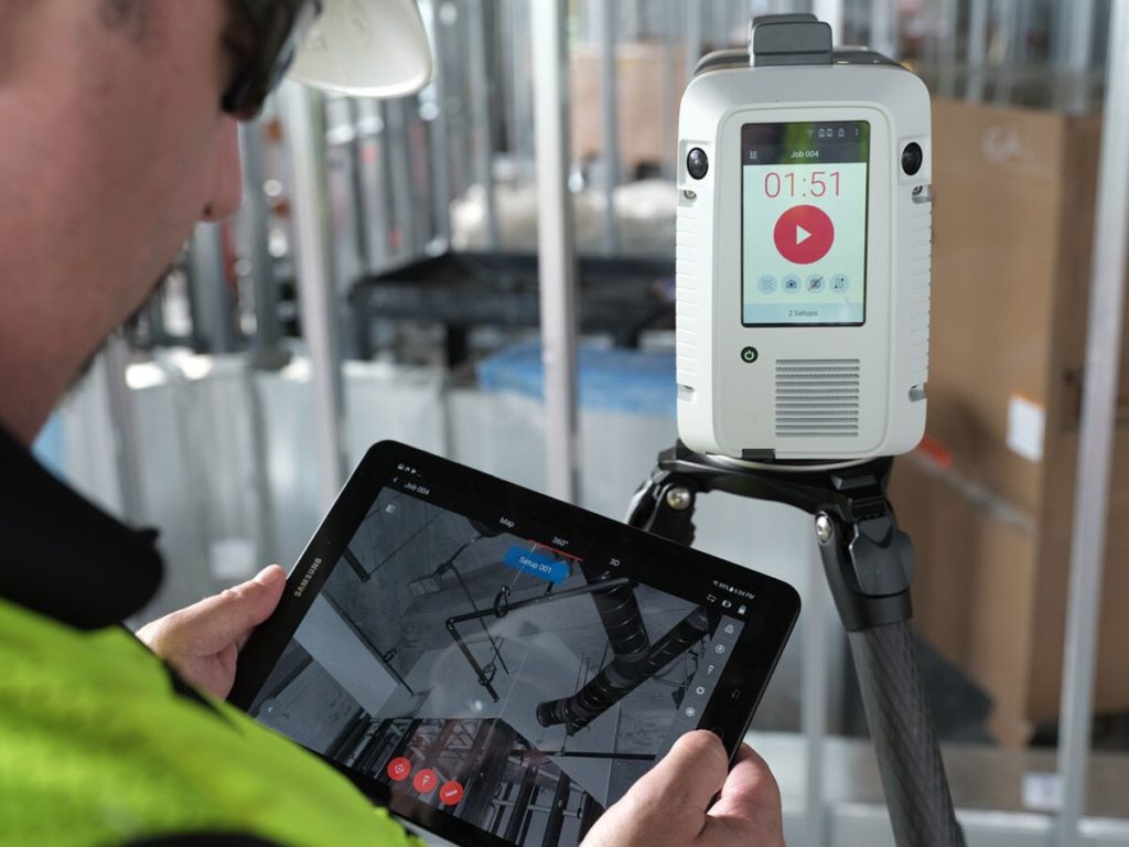
Educational Videos

Digitizing Your Construction Site With LiDAR Data From The Leica RTC360

Related: White Paper Leica RTC360: SLAM in Terrestrial Laser Scanning Download now for a brief…
Philip Blanks
Philip BlanksSeptember 16, 2020
Webinars

Digital Tools to Identify Construction Issues Before They Become Issues

Digital Tools to Identify Construction Issues Before They Become Issues With the advancements in digital…
Philip Blanks
Philip BlanksSeptember 3, 2020
Customer Videos

Learn how Reynolds Polymer captured 3D measurements for a complex shark tank installation

Learn how Reynolds Polymer validates the fit of a 36000lbs custom polymer dome window at…
Philip Blanks
Philip BlanksJuly 1, 2020
leicaeBooks

eBook: The Shift to Digital Construction

Download this free ebook to learn how new construction technologies are transforming how companies operate,…
Philip Blanks
Philip BlanksJanuary 22, 2020
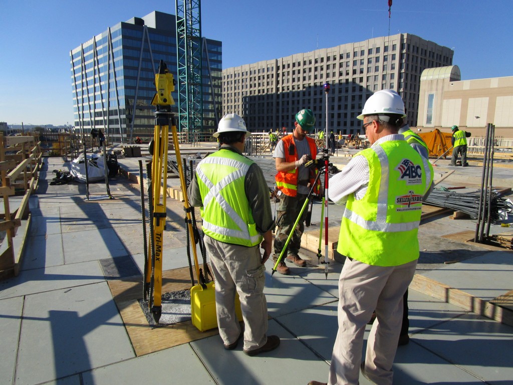
Web Case Studies

Facchina Jumps into BIM with DC Office Building

Facchina Construction Company, one of the most respected contractors in the Washington D.C. area, has…
Philip Blanks
Philip BlanksDecember 17, 2019
Web Case Studies

Realizing the ROI of Digital Layout

In early 2012, Frazier Masonry Corporation of Lancaster, Calif., became one of the first multi-state…
Philip Blanks
Philip BlanksMay 17, 2019
iCT30Blogs

Three Reasons Contractors Prefer Leica iCON Construction Layout for BIM

Using robotic total stations in conjunction with building information modeling (BIM) is a proven way…
Philip Blanks
Philip BlanksApril 17, 2019
Blogs

Three Simple Tools for Digital Layout

Getting started with BIM and digital layout can seem like a monumental task if you…
Philip Blanks
Philip BlanksNovember 17, 2018
Blogs

Smart Digital Solutions for Building Construction

Today’s construction industry is characterized by shorter building cycles, shrinking budgets and growing expectations for…
Philip Blanks
Philip BlanksJanuary 17, 2018
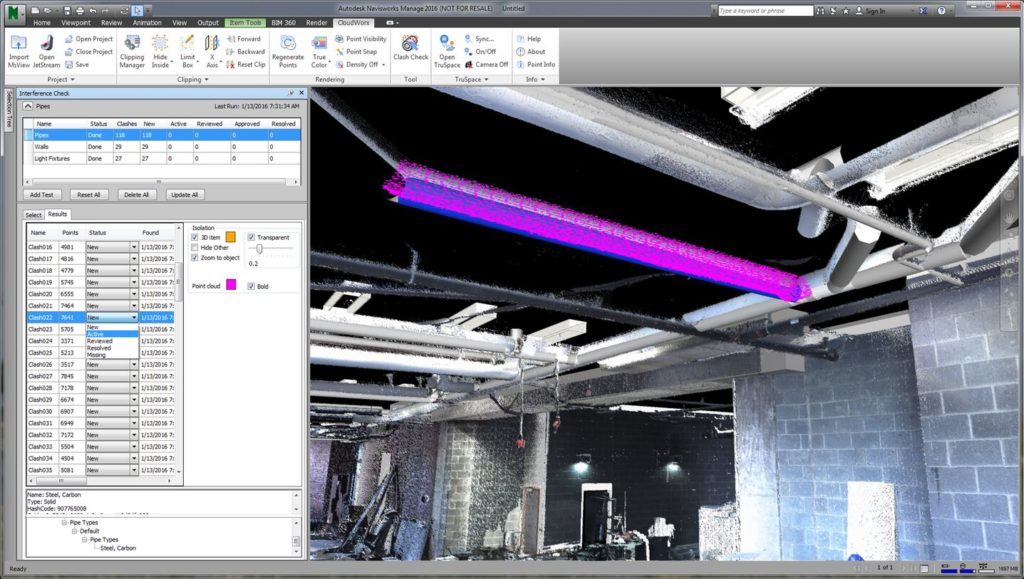
Webinars

How to Capture Every Detail by Adding 3D Measurable Images to Your Point Cloud

Explore the end-to-end solution that will change the way you see laser scanning. Laser scanning…
Philip Blanks
Philip BlanksJuly 2, 2020
Previous 1 2 3 4 5 Next

Also check out

  • Digital Construction Tools for Maintaining Operations During Pandemic June 30, 2020
  • e-Guide: Why Concrete Contractors Are Switching to Digital Layouts September 2, 2021
  • How to prevent costly re-work in building construction with in-field verification August 16, 2021
  • e-Guide: 5 Ways MEP Contractors Can Survive and Thrive in a BIM-Enabled Build Environment July 16, 2021
  • e-Guide: Best Practices for BIM in Construction June 30, 2021
  • Truebeck Construction Sees Drastic Improvement in Scanning Speed & Quality with the RTC360 June 15, 2021

© Copyright Leica Geosystems.

Privacy Policy | Cookie Policy | Code of Business Conduct and Ethics

    Leica Geosystems Privacy Policy describes how we process your personal data, as well as information on how you may exercise your rights to updates, access, manage, export, and delete your personal data.

    If you subsequently change your mind, you may withdraw consent at any time by clicking on the "Unsubscribe" link within the marketing emails sent to you.

    By submitting this form you agree to Leica Geosystems Terms of Use.


    captcha

    THANK YOU

    Download Now

    Error: Contact form not found.

    • Space & Facilities Management As Builts - Data Capture to Revit Model in 3 Simple Steps


      captcha

      THANK YOU

      your request has been successfully submitted

        Please tell us more about how we can help you.

        Leica Geosystems Privacy Policy describes how we process your personal data, as well as information on how you may exercise your rights to updates, access, manage, export, and delete your personal data.

        If you subsequently change your mind, you may withdraw consent at any time by clicking on the "Unsubscribe" link within the marketing emails sent to you.

        By submitting this form you agree to Leica Geosystems Terms of Use.


        captcha